PropSight Analytics
Empowering Real Estate Leaders with Big Data & Spatial Intelligence
Analysts were navigating complex property markets through disconnected spreadsheets and static reports, missing time-sensitive investment opportunities.
Created a data visualisation suite that ingests large property datasets and renders interactive geospatial maps and trend dashboards in real time.
Our Process
Audited five external data sources and designed a unified ingestion pipeline using AWS Data Pipeline and Python ETL scripts for daily refreshes.
Built a custom geospatial engine on top of PostgreSQL with PostGIS extensions, enabling polygon-level market segmentation at city and suburb scale.
Created interactive map components and charting dashboards in Next.js, prioritising sub-2-second load times even for datasets exceeding 1M rows.
Deployed on AWS with IAM role isolation per client, S3-backed export for reports, and CloudFront CDN for low-latency access across regions.
Ran two onboarding sessions with the investment team, created an interactive help centre inside the app, and iterated on the UX based on analyst feedback.
Built With
Next Project
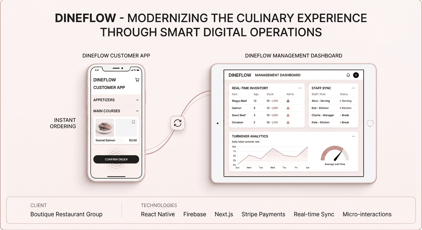
DineFlow
FoodTech